June 8, 2026 Update
Deer Hunting
It’s that time of the year. A field shot sent in by one of our landowner while he was spraying thistles. This is why mowing is not allowed on CRP ground until after July 15th.
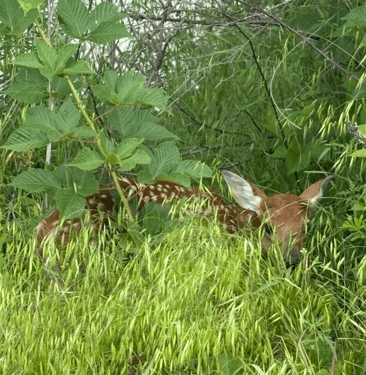

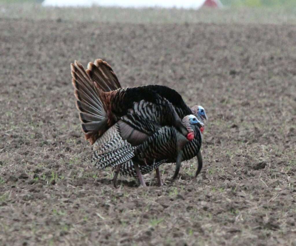

It’s that time of the year. A field shot sent in by one of our landowner while he was spraying thistles. This is why mowing is not allowed on CRP ground until after July 15th.